I just got home yesterday after a week in Fort McMurray, Alberta’s largest unincorporated town. I was there giving science workshops as part of my summer job.
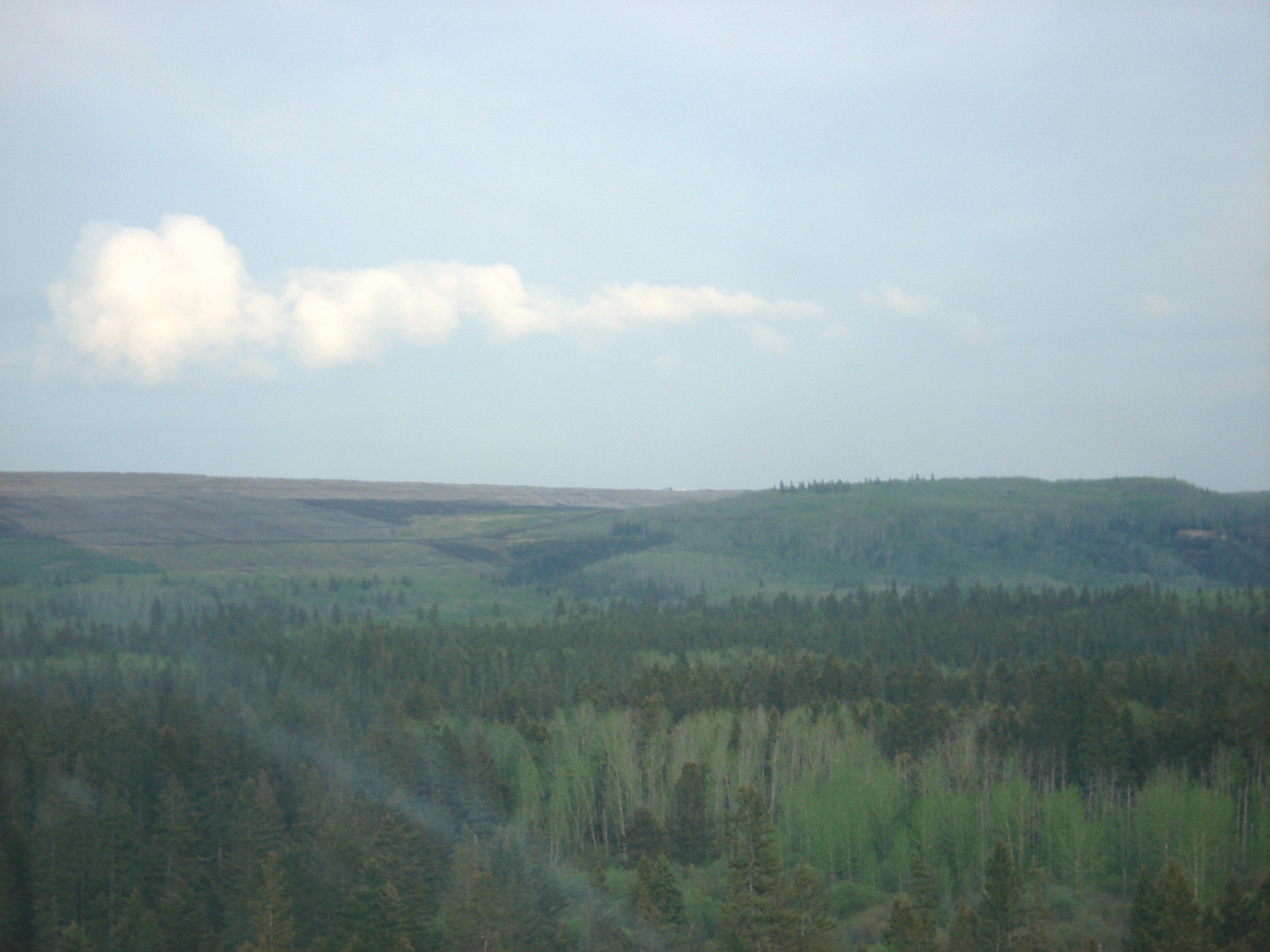
The students were awesome, and the town is surprisingly beautiful (it is in the middle of the Boreal Forest).
Then we made our trip to the Oil Sands on Wednesday evening. And for this, I think pictures will speak louder than words (and remember, this is only what you can see from the highway, it’s not even the bad stuff that lurks beyond the hills).
First the Google Map of our road trip:
View Ft. McMurray in a larger map
(Click any image to enlarge)
Here we can see the change from natural forest on the right to strip mining on the left:

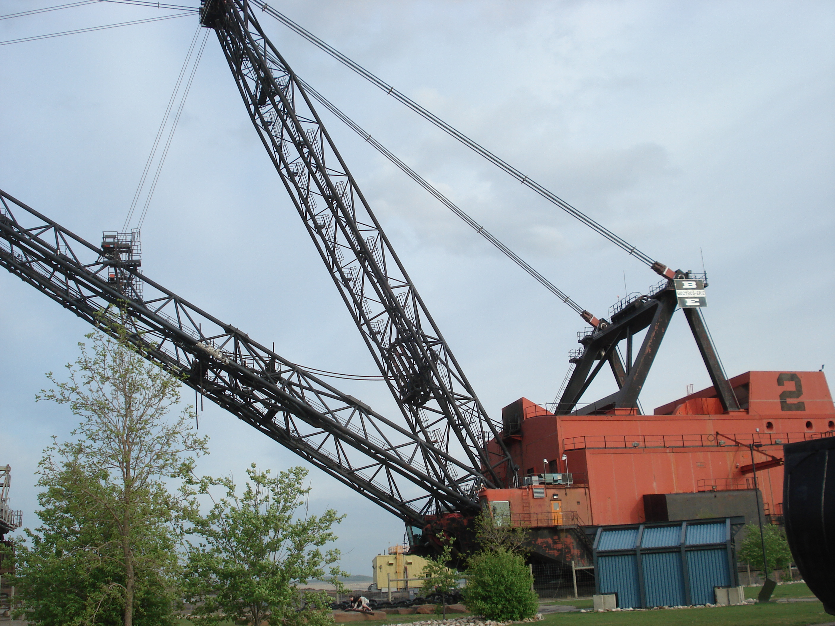
Now, to understand the scale of the Oil Sands, you have to remember that the machines are big (zoom in on the map above to the marker where you can see the following from space):
And now the tailings ponds and vast stretches of strip mining that you can see from the highway:

